

Paris sits about 35 metres (115 feet) above sea level. That figure is the conventional city reference point, measured near the centre of Paris beside the Seine. The ground is not flat, though: the city ranges from 26 metres where the Seine leaves Paris at Point du Jour in the 15th and 16th arrondissements to 130.53 metres at the summit of Montmartre, the highest natural point inside the city limits. Everything in between is a gentle rise away from the river, punctuated by thirteen named hills.
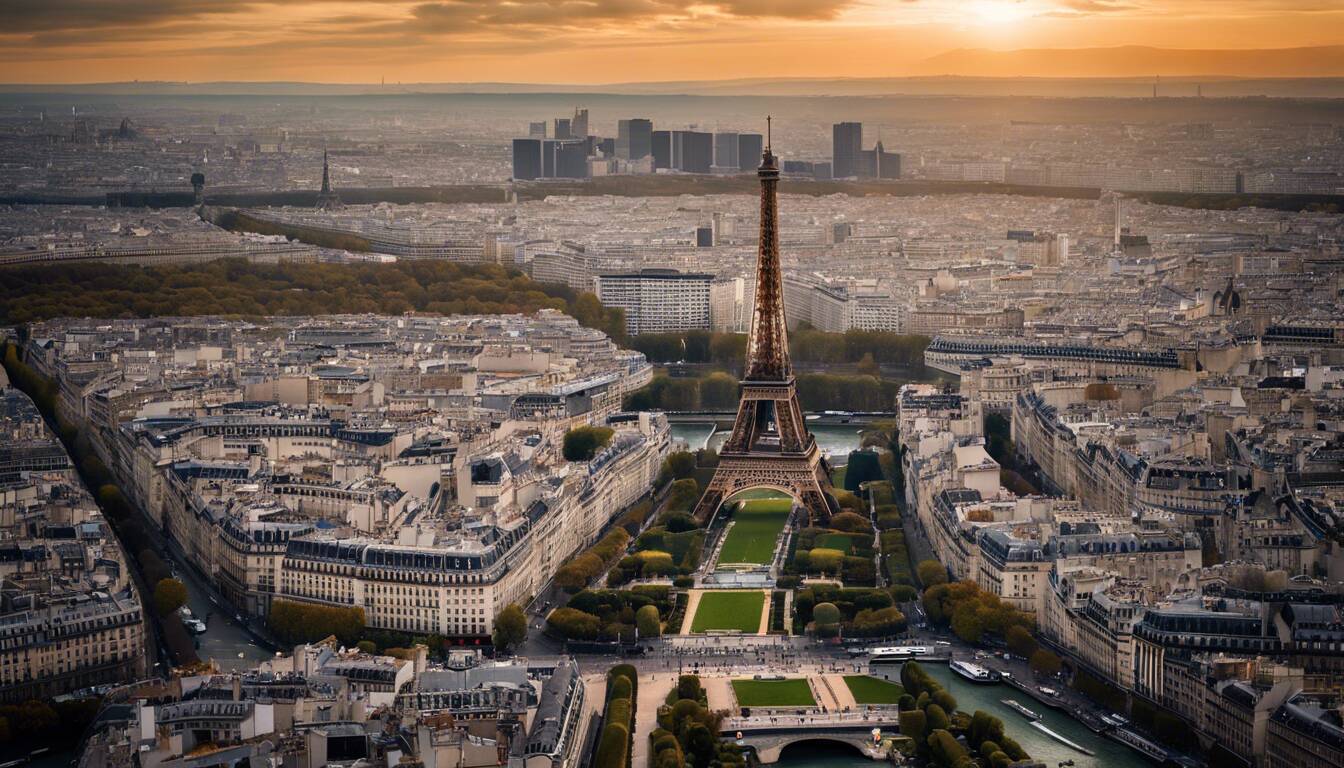
Elevation of Paris at a glance
Measurement | Metres | Feet | Where |
|---|---|---|---|
City reference elevation | 35 m | 115 ft | Central Paris, near the Seine |
Highest point (any land) | 130.53 m | 428 ft | Calvaire cemetery, Montmartre, 18th |
Highest point open to the public | 128.508 m | 422 ft | 40 rue du Télégraphe, Belleville, 20th |
Lowest point | 26 m | 85 ft | The Seine at Point du Jour, western city edge |
Seine water level through the city | 26-30 m | 85-98 ft | Between the eastern and western city limits |
Île de la Cité and Île Saint-Louis | 28-32 m | 92-105 ft | The two river islands at the centre of Paris |
Total vertical range | about 105 m | about 344 ft | Lowest river bank to highest butte |
What is the elevation of Paris, France?
The elevation of Paris is 35 metres (115 feet) above sea level at the standard city reference point. Paris is located in northern France, in the middle of the Paris Basin, a broad saucer of sedimentary rock that the Seine river has spent millions of years cutting into. The capital of France therefore sits in a shallow bowl rather than on a plateau or a coastal plain, which is why one modest number describes most of it so well.
Ground level rises steadily away from the banks of the Seine. The left bank climbs south-east towards the Montagne Sainte-Geneviève, the low ridge the Panthéon stands on, at about 61 metres. The right bank climbs north and east towards Montmartre, Belleville and Ménilmontant, the three highest quarters in the city of Paris. The rise is slow enough that most visitors never notice it until they reach the foot of a butte and find a staircase.
Why do sources disagree about the elevation of Paris?
Search for the altitude of Paris and you will be handed 35 m, 62 m and 130 m by three different tools within a minute. None of them is lying. They are answering three different questions, and almost no page says so.
Figure you may see | What it actually measures | When to use it |
|---|---|---|
35 m | The single reference elevation for the city of Paris, taken near the centre | The normal answer to “how high is Paris” |
Around 62 m | The mean of every pixel on a Paris topographic map, buttes included | Terrain modelling, not a place you can stand |
Higher averages still | The Greater Paris metropolitan area, which reaches into higher ground outside Paris | Regional geography of Île-de-France |
130.53 m | The highest single point, on Montmartre | Peak elevation only |
159 m or 1,830 m | Paris, Texas and Paris, Idaho. Different countries entirely | Never, if you mean metropolitan France |
The practical rule: a city elevation is a point measurement, and an average elevation is a statistic about an area. Quote 35 m when someone asks how high Paris is, and say which point you mean when precision matters.
What is the highest point in Paris?
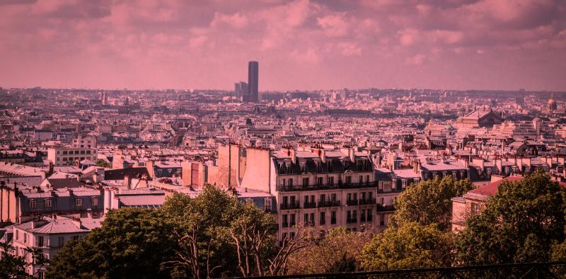
The highest point in Paris is Montmartre, at 130.53 metres (428 feet) above sea level. The exact spot is inside the small Calvaire cemetery next to the church of Saint-Pierre de Montmartre, which opens to the public just one day a year, on All Saints’ Day, 1 November. Because that summit is behind a locked gate for the other 364 days, the city marks a second figure: an altitude marker at 40 rue du Télégraphe, by the entrance to the Belleville cemetery in the 20th, reads 128.508 metres and is described on its plaque as the highest point in the public domain of the city of Paris.
The gap between the two is roughly two metres, which is why guides argue about which hill wins. Montmartre is the higher of the two. Belleville holds the title only for ground anyone can walk onto without waiting for November. If you want to compare the two quarters as places rather than as summits, our Montmartre vs Belleville comparison covers atmosphere, prices and what each is worth a morning for.
The hills of Paris, ranked
Hill | Arrondissement | Approx. summit | What is on top |
|---|---|---|---|
Montmartre | 18th | 130.5 m / 428 ft | Sacré-Cœur, Place du Tertre, the Calvaire cemetery |
Belleville | 20th | 128.5 m / 422 ft | The rue du Télégraphe altitude marker, Parc de Belleville |
Ménilmontant | 20th | about 108 m / 354 ft | Residential streets, long views west |
Buttes-Chaumont | 19th | about 103 m / 338 ft | Parc des Buttes-Chaumont and its clifftop temple |
Butte-aux-Cailles | 13th | about 63 m / 207 ft | Low-rise streets, the art deco swimming pool |
Montagne Sainte-Geneviève | 5th | about 61 m / 200 ft | The Panthéon, the Latin Quarter |
Two of these hills were quarried rather than admired. Sediments left by ancient seas laid down limestone south of the Seine and gypsum in the northern heights, Montmartre and Ménilmontant above all. Centuries of digging out that stone to build the city left the void that became the Paris catacombs, and the reason parts of the 13th and 14th are still monitored for subsidence today.
What is the lowest point in Paris?
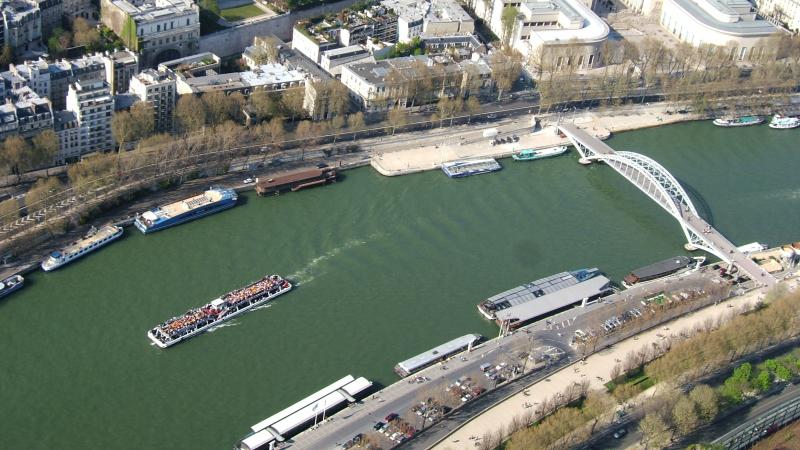
The lowest point in Paris is the Seine at Point du Jour, roughly 26 metres (85 feet) above sea level, where the river leaves the city on its western edge between the 15th and 16th arrondissements. The river enters in the south-east near the Bois de Vincennes at about 30 metres and drops four metres on its way through, which is all the fall Paris gets across its whole width.
That shallow gradient is the reason flooding matters here. On 28 January 1910 the Seine peaked at 8.62 metres on the Austerlitz gauge, more than four times its normal reading, and water reached streets far from the banks of the Seine because there was so little height to stop it. The 1910 mark is still the benchmark every Paris flood plan is written against, and the Zouave statue on the Pont de l’Alma remains the gauge Parisians actually watch.
Between the low banks sit the two islands where the city began. Île de la Cité, home to the Notre-Dame cathedral, and Île Saint-Louis both sit at roughly 28 to 32 metres, a couple of metres of freeboard above the water. Notre-Dame de Paris is not on a hill; it is on a sandbank.
Does Paris have mountains?
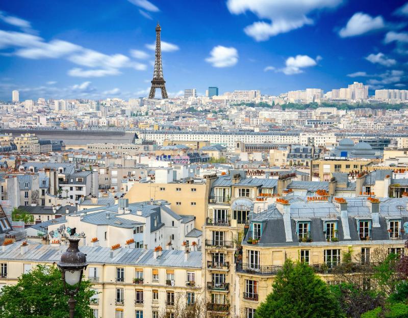
No. Paris has no mountains, and neither does the Île-de-France region around it. The highest ground in the city is a 130-metre hill. Mont Blanc, the highest point in metropolitan France, reaches 4,808 metres, roughly thirty-seven times higher. France’s real relief sits far to the south and east, in the Alps and the Pyrenees; the Paris Basin is what a landscape looks like after a river has spent millions of years flattening it.
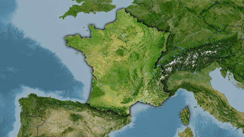
The city of Paris covers 105.4 km² including the Bois de Boulogne and the Bois de Vincennes, or 86.9 km² without them, and that compact oval is what makes a 105-metre vertical range feel like more than it is. Climb from the quai to the top of Montmartre and you have gained about the height of a 35-storey building over roughly two kilometres of street.
How high is the Eiffel Tower above sea level?
The tip of the Eiffel Tower stands about 363 metres above sea level. The tower itself is 330 metres tall including its broadcast antennas, and it stands on the Champ de Mars at roughly 33 metres above sea level, which is low ground by Paris standards. Every Paris landmark that feels high owes its height to the structure, not the terrain, with one exception.
Landmark | Ground elevation | Structure height | Top above sea level |
|---|---|---|---|
Eiffel Tower, 7th | about 33 m | 330 m | about 363 m |
Sacré-Cœur, 18th | about 129 m | 83 m dome | about 212 m |
Montparnasse Tower, 15th | about 35 m | 210 m | about 245 m |
Notre-Dame de Paris, 4th | about 30 m | 69 m towers | about 99 m |
Abbesses métro platform, 18th | partway up the butte | 36 m below ground | below street level |
The exception is Sacré-Cœur. Its dome is far shorter than the Eiffel Tower, yet the basilica’s gallery is one of the highest publicly accessible viewpoints in Paris because the hill does most of the work. The same hill explains Abbesses station. Its platforms lie 36 metres below the street because line 12 had to stay level while the ground above it climbed the butte, which made Abbesses the deepest station on the Paris métro for over a century.
What Paris elevation means if you are visiting
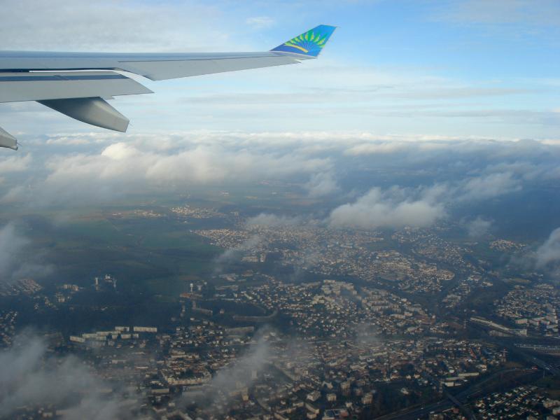
- Altitude has no effect on you. At 35 metres there is no thin air, no acclimatisation, no altitude-related sleep or breathing issue. Paris is one of the flattest major capitals you can visit.
- Three areas will make you climb. Montmartre, Belleville and Ménilmontant all gain around 100 metres from the nearest quai. Montmartre has a funicular beside the staircase at Sacré-Cœur, and a guided Montmartre tour by 2CV and on foot takes the gradient out of it entirely; Belleville and Ménilmontant have neither.
- Rain runs downhill towards the centre. The oldest streets sit lowest, which is why a heavy storm reaches central Paris quickly. Check our Paris weather guide before planning an all-day walk.
- The best free views come from the hills, not the towers. Parc de Belleville, the terrace at Sacré-Cœur and the belvedere in Parc des Buttes-Chaumont cost nothing.
- Bridges are the flattest crossings. If you want a level route across the city, follow the river and its Paris bridges rather than cutting north.
For a walk that uses the terrain deliberately, the Promenade Plantée runs along a disused viaduct in the 12th, a rare stretch of Paris where the height is engineered rather than geological. For everything else, see our guide to things to do in Paris.
Paris elevation: frequently asked questions
What is the elevation of Paris, France?
Paris is about 35 metres (115 feet) above sea level at its standard city reference point, measured near the centre of Paris beside the Seine. The city ranges from 26 metres at the river’s western exit to 130.53 metres on Montmartre.
What is the highest point in Paris?
Montmartre, at 130.53 metres (428 feet) above sea level, inside the Calvaire cemetery beside the church of Saint-Pierre de Montmartre. That cemetery opens to the public only on 1 November, so the city also marks a second figure: an altitude marker at 40 rue du Télégraphe in Belleville reads 128.508 metres and is described as the highest point in the public domain.
Is Belleville higher than Montmartre?
No. Montmartre is higher, at 130.53 metres against roughly 128.5 metres for Belleville. Belleville holds a different title: the highest point of Paris that anyone can walk onto on any day of the year, marked by a plaque at the entrance to the Belleville cemetery.
What is the lowest point in Paris?
The Seine where it leaves the city at Point du Jour, on the western edge between the 15th and 16th arrondissements, at roughly 26 metres above sea level. The river enters Paris near the Bois de Vincennes at about 30 metres, so it falls only around four metres crossing the entire city.
Does Paris have mountains?
No. Paris has thirteen named hills whose summits fall between roughly 60 and 130 metres, and nothing that meets any definition of a mountain. Mont Blanc, the highest point in metropolitan France, is 4,808 metres, about thirty-seven times higher than Montmartre.
How high is the Eiffel Tower above sea level?
About 363 metres. The tower is 330 metres tall including its antennas and stands on the Champ de Mars at roughly 33 metres above sea level. Its height comes from the structure rather than the ground, which is among the lower parts of central Paris.
Why do elevation maps give Paris a higher average than 35 metres?
Because they measure different things. A Paris topographic map averages the elevation of every point in an area, so the buttes pull the mean up towards 60 metres or beyond, and a Greater Paris metropolitan figure reaches into higher ground outside Paris. The 35-metre figure is a single reference point, not an average.
What we corrected on this page
Previously stated here | Corrected to |
|---|---|
The highest point is the hill of Belleville at 148 m | Montmartre at 130.53 m is the highest point; Belleville’s marked altitude is 128.508 m |
Montmartre sits on a hill slightly lower than Belleville | Montmartre is the higher of the two |
The lowest point is around 27 m somewhere along the Seine | 26 m, at Point du Jour where the Seine leaves the city |
Paris measures roughly 9 miles east to west and 6 miles north to south | The city covers 105.4 km² including both bois, or 86.9 km² without them |
Buttes-Chaumont is a neighbourhood | Parc des Buttes-Chaumont is a park in the 19th; the surrounding quarter has other names |
Sources and method
Every elevation on this page was checked in August 2026. The summit figures come from the Ville de Paris altitude marker at 40 rue du Télégraphe and from Sortiraparis and Un jour de plus à Paris, which both document the Montmartre and Belleville measurements and the access restriction on the Calvaire cemetery. River and city-reference elevations come from published topographic data for Île-de-France. The 1910 flood peak of 8.62 m on the Austerlitz gauge is the figure recorded for 28 January 1910. Eiffel Tower dimensions are the operator’s published heights. Abbesses depth and its loss of the deepest-station title in 2025 come from RATP and Sortiraparis. Geology of the limestone and gypsum beds follows the Catacombes de Paris account of the quarries.
Where sources disagreed, the more precise and better-attributed figure was used and the disagreement is stated rather than hidden. Approximate hill summits are given as “about” because published values for Ménilmontant, Buttes-Chaumont and Butte-aux-Cailles vary by a few metres depending on which point on the slope is measured.
Last updated August 2026. Written and fact-checked by the Paris Top Ten editorial team. Elevation figures are stable over time; the access rules for the Calvaire cemetery and the deepest-station record are the two details on this page most likely to change.
Find Things to Do in Paris
Find Accommodation

Continue Planning Your Paris Trip

Exploring the Hidden Gems: Squats and Art Studios in Paris
Tired of the usual tourist spots? Paris's squats and art studios mix creativity, history and rebellion, with installations…
Read Guide →
Exploring the Opera Garnier: Can You Visit Without a Reservation?
Can you visit the Opera Garnier without a reservation? Yes, and here's how day visits work, when to…
Read Guide →
Exploring the Palais Garnier: Self-Guided Tour vs. Performance Experience
Palais Garnier: a 10-euro self-guided tour or a performance from a category 6 seat? What each gets you…
Read Guide →